The operating system for the world's most complex airfields.
Tamarac unifies fragmented airport operations into a single source of truth. From GIS digital twin to automated lease billing, 16 integrated modules give you infrastructure-grade command and control.
- Modules
- 16
- Source of truth
- 1
- Spreadsheets
- 0

See how Tamarac streamlines airport operations.
A 2-minute look at how small airports replace binders and spreadsheets with modern, affordable management software.
One platform. Sixteen modules. Zero juggling.
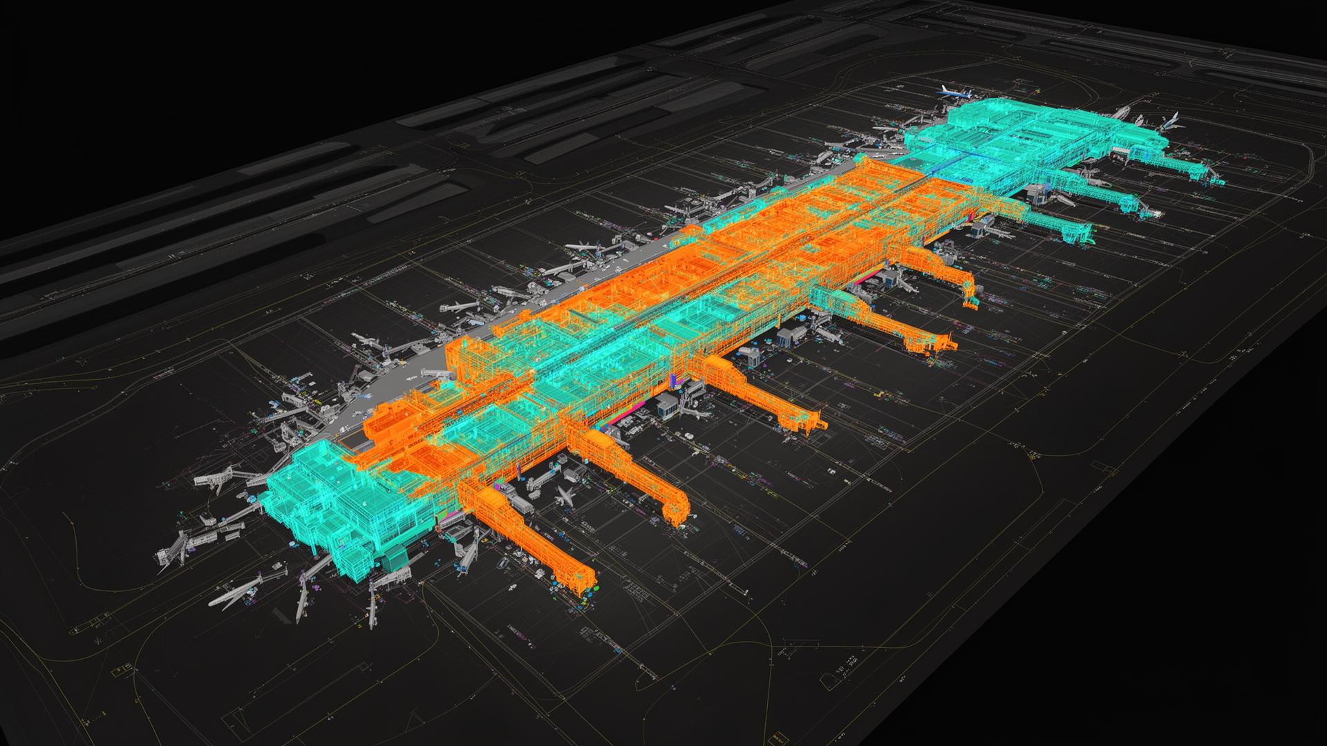
GIS & Airport Digital Twin
Layered GIS surface that links every hangar, aircraft, tie-down, light, and pavement section to live operational data — the spatial backbone of every other Tamarac module.
Task Management
Schedule, assign, and audit every recurring inspection, runway sweep, FOD walk, and wildlife check — with full attachments and completion history.
Lease Management
Manage hangar, tie-down, land, and commercial leases linked directly to GIS objects, tenants, aircraft, and billing.
Directory & CRM
A purpose-built directory for the people, organizations, and contacts that keep an airport running. Tag, segment, and notify in seconds.
Employee Scheduling
Build weekly and monthly rotations, handle on-call and snow operations, and run shift approval workflows without the spreadsheet.
Hangar Inspections
Run fire safety, FAA compliance, and grant assurance inspections on configurable templates — with printable reports and a full audit trail.
Billing & Payments
End-to-end invoicing for leases, fuel, and parking with ACH and credit card processing, late fee automation, and QuickBooks Online sync.
Digital Document Signing
Place signature, initial, and compliance fields on any document and run sequential signing flows for leases, contracts, and forms.
Spatial awareness, finally as a system of record.
Tamarac's GIS module isn't a map — it's a living spatial database. Every hangar, tie-down, light, and pavement section links directly to its lease, inspection schedule, and billing record. One click goes from the asset to the contract.
- Interactive layered map
- KMZ & DWG imports
- Polygon zoning tools
- RPZ & noise overlays
- Distance & area tools
- Google Earth exports
Designed by airport professionals, for airport professionals.
Deep industry knowledge
We know the frustrations of managing airports because we've been there.
Aviation-specific features
From hangar inspections to GIS mapping, our tools are tailored to the exact work airport operators do.
Compliance built in
FAA, grant assurance, and insurance workflows are first-class — not bolted on.
Real partnership
You're not buying software. You're getting a team that understands and supports your mission.
See Tamarac running on an airfield like yours.
A 30-minute working session with an operator who's done your job. No slide decks.